
Use this pattern when the points, lines, or polygons you need are not available as ready-made data and you have to create them yourself.
Solution
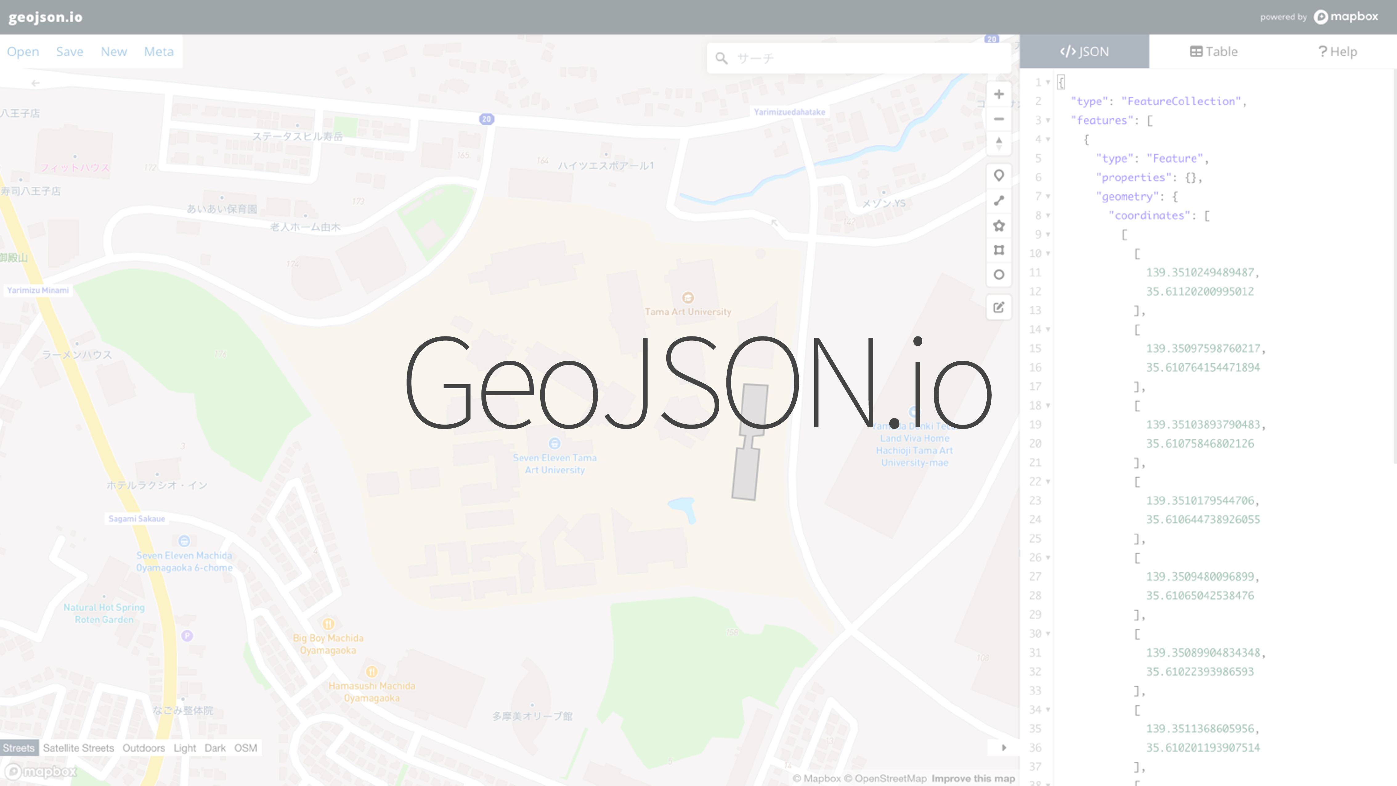
Use a tool that lets you draw points, lines, and polygons directly on top of a base map and export GeoJSON. Start with the minimum area or features you need, then add attributes afterward.
Tool
Good fit for
- Creating a small custom map dataset
- Drawing survey points or movement paths
- Building GeoJSON without a full GIS workflow