
Use this pattern when decimal precision or coordinate reference systems are inconsistent and your map data does not line up correctly in the next tool.
Solution
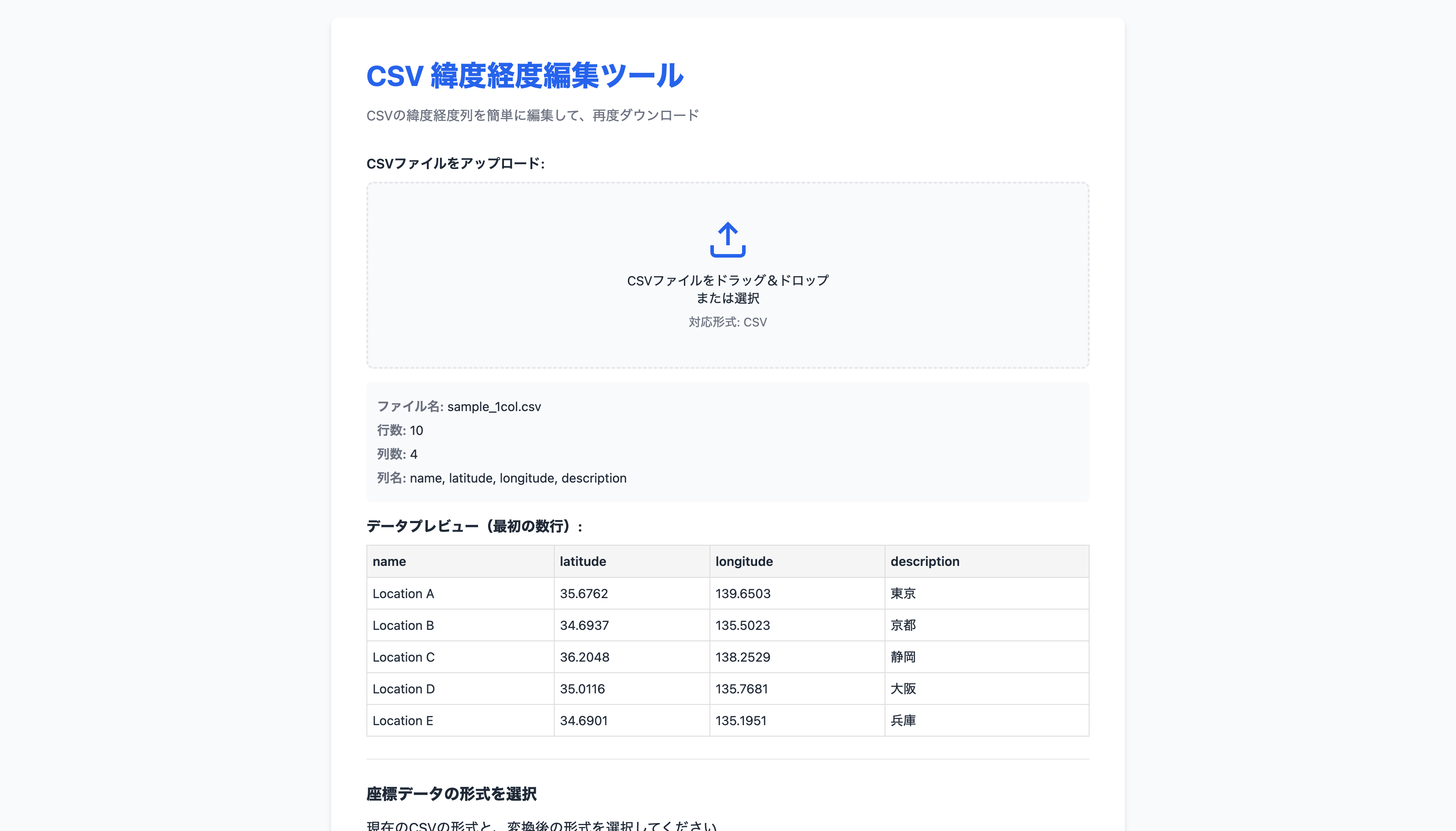
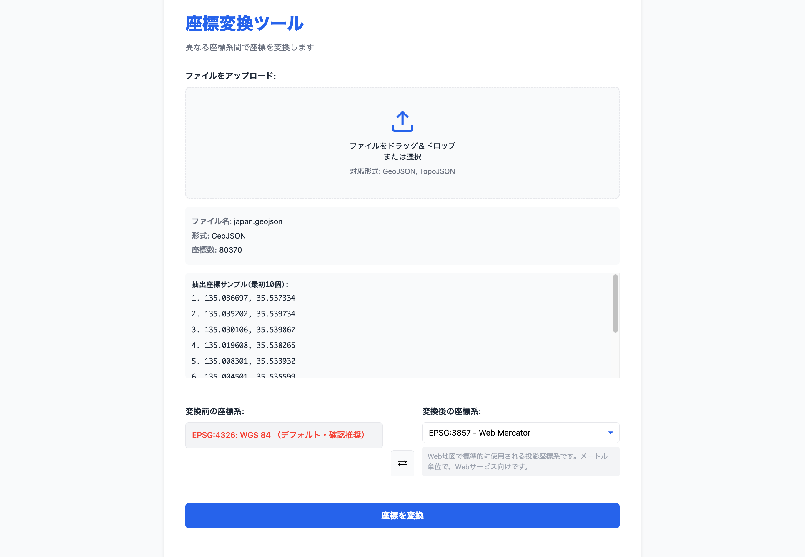
Standardize latitude/longitude formatting first, then convert the coordinate system if needed. Splitting the work into formatting and projection changes makes it easier to isolate the source of location errors.
Tools
Good fit for
- Mixing map data from different coordinate systems
- Normalizing latitude/longitude precision
- Troubleshooting positional offsets